-
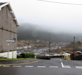
Foggy hill behind Blaengwynfi
-
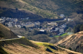
Neath Port Talbot : Blaengwynfi Scenery
Foggy hill behind Blaengwynfi
Neath Port Talbot : Blaengwynfi Scenery
Location and coordinates are for the approximate centre of Mynydd Blaengwynfi within this administrative area. Geographic features and populated places may cross administrative borders.