-
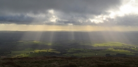
View from Foel Cwmcerwyn
-
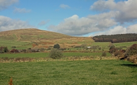
Pasture on Rhos Morris: Maenclochog
View from Foel Cwmcerwyn
Pasture on Rhos Morris: Maenclochog
Location and coordinates are for the approximate centre of Mynydd Bâch within this administrative area. Geographic features and populated places may cross administrative borders.