-
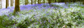
Bluebells in Frank's Wood
-
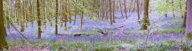
Bluebells in Frank's Wood
Bluebells in Frank's Wood
Bluebells in Frank's Wood
Location and coordinates are for the approximate centre of Mosses Wood within this administrative area. Geographic features and populated places may cross administrative borders.