-
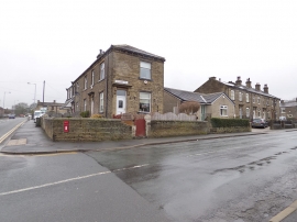
Junction of Cemetery Road and Abb Scott Lane
-
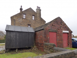
Brick outhouse, Cemetery Road
Junction of Cemetery Road and Abb Scott Lane
Brick outhouse, Cemetery Road
Location and coordinates are for the approximate centre of Moor Top within this administrative area. Geographic features and populated places may cross administrative borders.