-
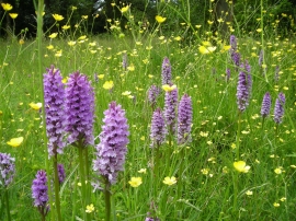
Orchids on Moorend Common
-
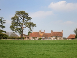
Moor Farm
Orchids on Moorend Common
Moor Farm
Other current and historical names
Location and coordinates are for the approximate centre of Moor End within this administrative area. Geographic features and populated places may cross administrative borders.