-
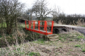
Colourful Bridge over Billingham Beck
-

Norton railway station (site), County Durham
Colourful Bridge over Billingham Beck
Norton railway station (site), County Durham
Location and coordinates are for the approximate centre of Middle Fields within this administrative area. Geographic features and populated places may cross administrative borders.