-

Field near Mains of Mause
-
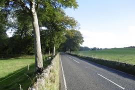
A93, Mains of Mause
Field near Mains of Mause
A93, Mains of Mause
Location and coordinates are for the approximate centre of Middle Drimmie Wood within this administrative area. Geographic features and populated places may cross administrative borders.