-
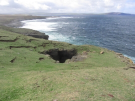
Rousay; Kiln of Dusty (blowhole)
-
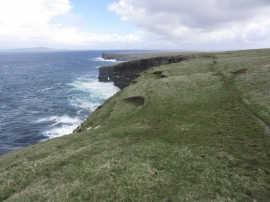
Rousay; Walking along NW coast by Hellia Spur
Rousay; Kiln of Dusty (blowhole)
Rousay; Walking along NW coast by Hellia Spur
Location and coordinates are for the approximate centre of Mesmes Geo within this administrative area. Geographic features and populated places may cross administrative borders.