-
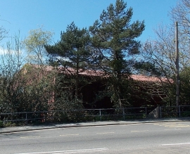
Partly hidden Haverfordwest Delivery Office
-
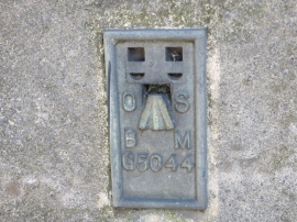
Ordnance Survey Flush Bracket G5044
Partly hidden Haverfordwest Delivery Office
Ordnance Survey Flush Bracket G5044
Location and coordinates are for the approximate centre of Merlin's Bridge within this administrative area. Geographic features and populated places may cross administrative borders.