-
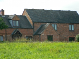
Shuckton Manor Farm
-
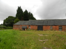
Back of old farm buildings
Shuckton Manor Farm
Back of old farm buildings
Location and coordinates are for the approximate centre of Mercaston within this administrative area. Geographic features and populated places may cross administrative borders.