-
Flank of Beinn Giubhais (663 m)
-
Summit of Meall Giubhais (663 m)
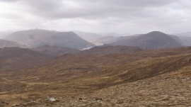
Flank of Beinn Giubhais (663 m)
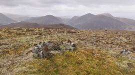
Summit of Meall Giubhais (663 m)
Location and coordinates are for the approximate centre of Meall Giubhais within this administrative area. Geographic features and populated places may cross administrative borders.