-

Moorland by the A832
-
Moorland north of Meall an t-Sithe
Moorland by the A832
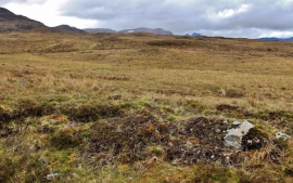
Moorland north of Meall an t-Sithe
Location and coordinates are for the approximate centre of Meall an t-Sìthe within this administrative area. Geographic features and populated places may cross administrative borders.