-
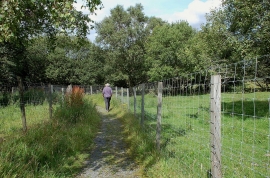
Footpath to Camp Wood above Mayfield
-
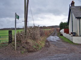
Track to Camp Wood
Footpath to Camp Wood above Mayfield
Track to Camp Wood
Location and coordinates are for the approximate centre of Masterton Wood within this administrative area. Geographic features and populated places may cross administrative borders.