-
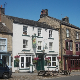
The Bay Horse, Silver Street, Masham
-
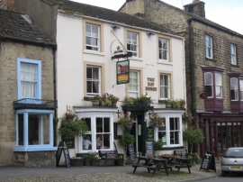
The Bay Horse, Masham
The Bay Horse, Silver Street, Masham
The Bay Horse, Masham
Location and coordinates are for the approximate centre of Masham within this administrative area. Geographic features and populated places may cross administrative borders.