-

Footbridge over Witton Brook linking Anderton Nature Park and Carey Park
-
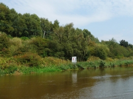
All craft heading upstream, bear right
Footbridge over Witton Brook linking Anderton Nature Park and Carey Park
All craft heading upstream, bear right
Location and coordinates are for the approximate centre of Marshall's Wood within this administrative area. Geographic features and populated places may cross administrative borders.