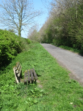
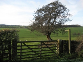
Mark Plantation, North Yorkshire

« Gazetteer Entry
Upload Photo

Mark Plantation, North Yorkshire

  • Parish/Community: Eshton
  • District/Borough: Craven
  • County: North Yorkshire
  • Region: Yorkshire and the Humber
  • Category: Landcover
  • Type: Forest or Wood
  • Latitude/Longitude: 53°59'21"N 2°6'47"W
  • Eastings/Northings: 392685, 454820
  • OS Grid: SD926548
  • Mapcode Local: GBR FQP9.BN
  • Mapcode Global: WHB70.JZ0J

Location and coordinates are for the approximate centre of Mark Plantation within this administrative area. Geographic features and populated places may cross administrative borders.

BritishPlaceNames.uk is a Good Stuff website.