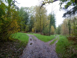
Manor Common Wood, East Dorset

« Gazetteer Entry
Upload Photo

Manor Common Wood, East Dorset

  • Parish/Community: Maiden Bradley with Yarnfield
  • Unitary Authority: East Dorset
  • Region: South West
  • Category: Landcover
  • Type: Forest or Wood
  • Latitude/Longitude: 51°8'53"N 2°18'49"W
  • Eastings/Northings: 378145, 138811
  • OS Grid: ST781388
  • Mapcode Local: GBR 0T8.XH6
  • Mapcode Global: VH97S.VD4Q

Location and coordinates are for the approximate centre of Manor Common Wood within this administrative area. Geographic features and populated places may cross administrative borders.

BritishPlaceNames.uk is a Good Stuff website.