-
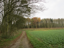
Footpath to West Hill Farm
-
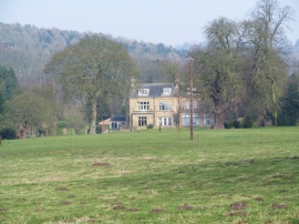
Drewton Manor
Footpath to West Hill Farm
Drewton Manor
Location and coordinates are for the approximate centre of Manor Belts within this administrative area. Geographic features and populated places may cross administrative borders.