-
Mallaig Bheag
-

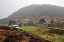
End of the public road at Mallaig Bheag
Mallaig Bheag
End of the public road at Mallaig Bheag
Location and coordinates are for the approximate centre of Malaig Bheag within this administrative area. Geographic features and populated places may cross administrative borders.