-

Path, Manor Woods Valley
-
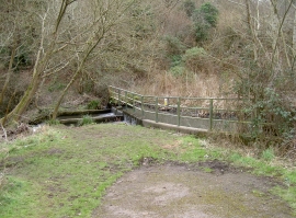
Weir on the Malago
Path, Manor Woods Valley
Weir on the Malago
Location and coordinates are for the approximate centre of The Malago within this administrative area. Geographic features and populated places may cross administrative borders.