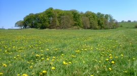
Mag's Wood, Oxfordshire

« Gazetteer Entry
Upload Photo

Mag's Wood, Oxfordshire

  • Parish/Community: Harpsden
  • District/Borough: South Oxfordshire
  • County: Oxfordshire
  • Region: South East
  • Category: Landcover
  • Type: Forest or Wood
  • Latitude/Longitude: 51°31'8"N 0°56'31"W
  • Eastings/Northings: 473501, 180544
  • OS Grid: SU735805
  • Mapcode Local: GBR C4X.NNF
  • Mapcode Global: VHDWM.M29S

Location and coordinates are for the approximate centre of Mag's Wood within this administrative area. Geographic features and populated places may cross administrative borders.

BritishPlaceNames.uk is a Good Stuff website.