-
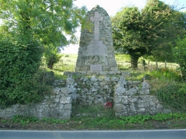
Taliaris War Memorial
-
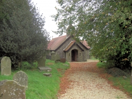
Holy Trinity Church, Taliaris
Taliaris War Memorial
Holy Trinity Church, Taliaris
Location and coordinates are for the approximate centre of Maerdy Wood within this administrative area. Geographic features and populated places may cross administrative borders.