-
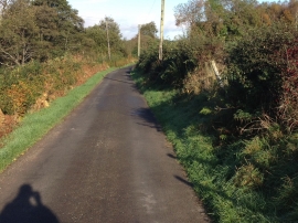
Minor road near Templand
-
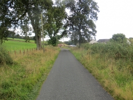
Lane passing Mote Cottage
Minor road near Templand
Lane passing Mote Cottage
Location and coordinates are for the approximate centre of Mackerel Sike within this administrative area. Geographic features and populated places may cross administrative borders.