-
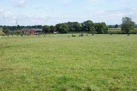
A field of cows by Loxley Green
-
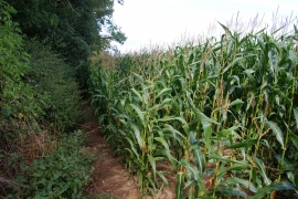
Path through a field of maize
A field of cows by Loxley Green
Path through a field of maize
Location and coordinates are for the approximate centre of Loxley Green within this administrative area. Geographic features and populated places may cross administrative borders.