-
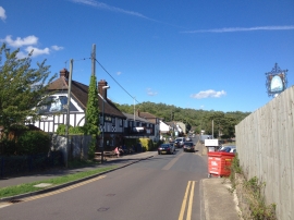
Upnor Road, Upnor
-
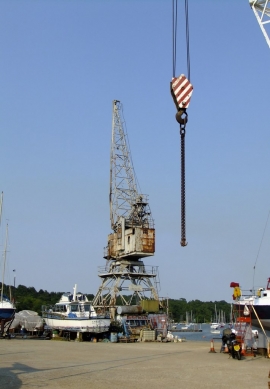
Patman's Wharf, Lower Upnor
Upnor Road, Upnor
Patman's Wharf, Lower Upnor
Other current and historical names
Location and coordinates are for the approximate centre of Lower Upnor within this administrative area. Geographic features and populated places may cross administrative borders.