-
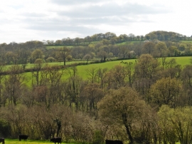
Fourteen Acre Copse
-
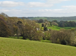
View towards Dennings Down Farm
Fourteen Acre Copse
View towards Dennings Down Farm
Location and coordinates are for the approximate centre of Lower Rag Copse within this administrative area. Geographic features and populated places may cross administrative borders.