-
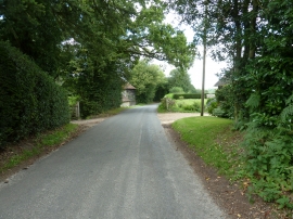
House entrances at Whitestone on Hammingden Lane
-

Water trough, Highbrook, West Sussex
House entrances at Whitestone on Hammingden Lane
Water trough, Highbrook, West Sussex
Location and coordinates are for the approximate centre of Lower Ludwell Shaw within this administrative area. Geographic features and populated places may cross administrative borders.