-
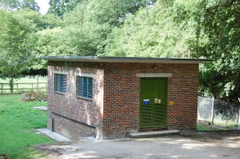
Southern Water Building off A2100
-
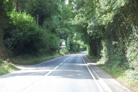
A2100 towards Battle
Southern Water Building off A2100
A2100 towards Battle
Location and coordinates are for the approximate centre of Lower Hog Trough Shaw within this administrative area. Geographic features and populated places may cross administrative borders.