-

Mineral works at Trusham Quarry
-
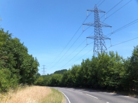
Electric cables crossing the Teign valley
Mineral works at Trusham Quarry
Electric cables crossing the Teign valley
Location and coordinates are for the approximate centre of Lower Crockham Copse within this administrative area. Geographic features and populated places may cross administrative borders.