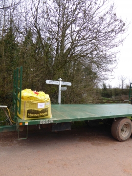
Lower Creedy, Devon

« Gazetteer Entry
Upload Photo

Lower Creedy, Devon

Other current and historical names

  • Creedy, Lower
  • Parish/Community: Upton Hellions
  • District/Borough: Mid Devon
  • County: Devon
  • Region: South West
  • Category: Populated Place
  • Type: Hamlet
  • Latitude/Longitude: 50°48'42"N 3°38'38"W
  • Eastings/Northings: 284265, 102647
  • OS Grid: SS842026
  • Mapcode Local: GBR L9.Y2NQ
  • Mapcode Global: FRA 368Y.D4W

Location and coordinates are for the approximate centre of Lower Creedy within this administrative area. Geographic features and populated places may cross administrative borders.

BritishPlaceNames.uk is a Good Stuff website.