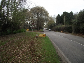
Lower Chelson Wood, Devon

« Gazetteer Entry
Upload Photo

Lower Chelson Wood, Devon

  • Parish/Community: Sidmouth
  • District/Borough: East Devon
  • County: Devon
  • Region: South West
  • Category: Landcover
  • Type: Forest or Wood
  • Latitude/Longitude: 50°42'27"N 3°10'55"W
  • Eastings/Northings: 316627, 90425
  • OS Grid: SY166904
  • Mapcode Local: GBR PB.0Y2J
  • Mapcode Global: FRA 4776.L3Q

Location and coordinates are for the approximate centre of Lower Chelson Wood within this administrative area. Geographic features and populated places may cross administrative borders.

BritishPlaceNames.uk is a Good Stuff website.