-
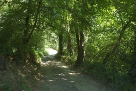
Bridleway to Rose Ash
-
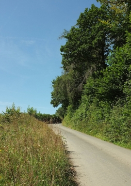
Whippenscott Hill
Bridleway to Rose Ash
Whippenscott Hill
Location and coordinates are for the approximate centre of Lower Ash Town Plantations within this administrative area. Geographic features and populated places may cross administrative borders.