-
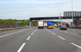
M25 clockwise heading north
-
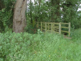
Thorpe Green
M25 clockwise heading north
Thorpe Green
Location and coordinates are for the approximate centre of Longside Lake within this administrative area. Geographic features and populated places may cross administrative borders.