-
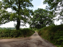
Turning for Combe
-
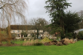
South Combe
Turning for Combe
South Combe
Location and coordinates are for the approximate centre of Longmead Copse within this administrative area. Geographic features and populated places may cross administrative borders.