-

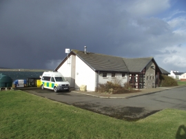
Former Doctor's Surgery - Wyng, near Longhope
-
Hoy and Walls Health Centre
Former Doctor's Surgery - Wyng, near Longhope
Hoy and Walls Health Centre
Location and coordinates are for the approximate centre of Longhope within this administrative area. Geographic features and populated places may cross administrative borders.