-

Private area, Windsor Great Park
-
Isolated Houses in Woodland
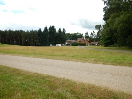
Private area, Windsor Great Park
Isolated Houses in Woodland
Location and coordinates are for the approximate centre of Long Plantation within this administrative area. Geographic features and populated places may cross administrative borders.