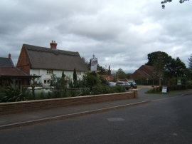
Long Plantation, Norfolk

« Gazetteer Entry
Upload Photo

Long Plantation, Norfolk

  • Parish/Community: Tunstead
  • District/Borough: North Norfolk
  • County: Norfolk
  • Region: Eastern
  • Category: Landcover
  • Type: Forest or Wood
  • Latitude/Longitude: 52°45'4"N 1°23'23"E
  • Eastings/Northings: 628866, 322460
  • OS Grid: TG288224
  • Mapcode Local: GBR WGB.J63
  • Mapcode Global: WHMT3.B31M

Location and coordinates are for the approximate centre of Long Plantation within this administrative area. Geographic features and populated places may cross administrative borders.

BritishPlaceNames.uk is a Good Stuff website.