-
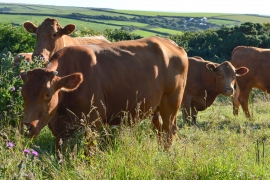
Curious cattle, Tresmorn, Cornwall
-

Evening at Lower Tresmorne, Cornwall
Curious cattle, Tresmorn, Cornwall
Evening at Lower Tresmorne, Cornwall
Location and coordinates are for the approximate centre of Long Cliff within this administrative area. Geographic features and populated places may cross administrative borders.