-
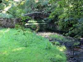
Ancient packhorse bridge at Brooks
-
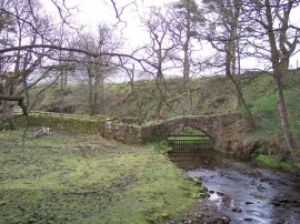
Pack horse bridge at Bleasdale
Ancient packhorse bridge at Brooks
Pack horse bridge at Bleasdale
Location and coordinates are for the approximate centre of Lodge Wood within this administrative area. Geographic features and populated places may cross administrative borders.