-
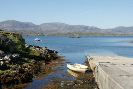
Jetty at Miabhaig
-
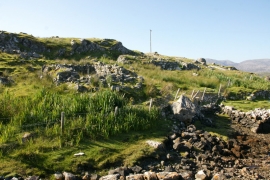
Ruined houses beside the jetty at Miabhaig
Jetty at Miabhaig
Ruined houses beside the jetty at Miabhaig
Location and coordinates are for the approximate centre of Loch na Làrach Lèithe within this administrative area. Geographic features and populated places may cross administrative borders.