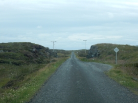
Loch na Leum, Na h-Eileanan Siar

« Gazetteer Entry
Upload Photo

Loch na Leum, Na h-Eileanan Siar

  • Unitary Authority: Na h-Eileanan Siar
  • Region: Scotland
  • Category: Water Feature
  • Type: Inland Water
  • Latitude/Longitude: 57°38'19"N 7°9'2"W
  • Eastings/Northings: 92754, 872656
  • OS Grid: NF927726
  • Mapcode Local: GBR 88QJ.RHT
  • Mapcode Global: WGW37.485F

Location and coordinates are for the approximate centre of Loch na Leum within this administrative area. Geographic features and populated places may cross administrative borders.

BritishPlaceNames.uk is a Good Stuff website.