-
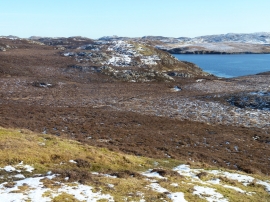
Moorland in front of geag na aoile Brice
-
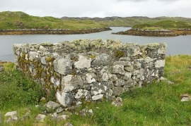
Ruin near Eaglais Chaluim Chille
Moorland in front of geag na aoile Brice
Ruin near Eaglais Chaluim Chille
Location and coordinates are for the approximate centre of Loch na' Craoibhe within this administrative area. Geographic features and populated places may cross administrative borders.