-
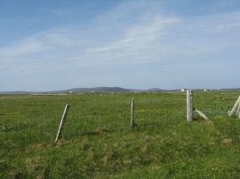
Pasture on Baleshare/Baile Sear
-
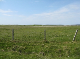
Machair on Baleshare/Baile Sear
Pasture on Baleshare/Baile Sear
Machair on Baleshare/Baile Sear
Location and coordinates are for the approximate centre of Loch na Banaraich within this administrative area. Geographic features and populated places may cross administrative borders.