-
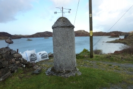
Housing for Barometer at Marbhig
-
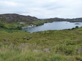
Loch Mharabhig from the south
Housing for Barometer at Marbhig
Loch Mharabhig from the south
Location and coordinates are for the approximate centre of Loch Mharabhig within this administrative area. Geographic features and populated places may cross administrative borders.