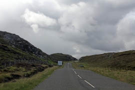
Loch Fionnacleit, Na h-Eileanan Siar

« Gazetteer Entry
Upload Photo

Loch Fionnacleit, Na h-Eileanan Siar

  • Unitary Authority: Na h-Eileanan Siar
  • Region: Scotland
  • Category: Water Feature
  • Type: Inland Water
  • Latitude/Longitude: 58°15'20"N 6°44'57"W
  • Eastings/Northings: 121518, 939510
  • OS Grid: NB215395
  • Mapcode Local: GBR 96QX.9C1
  • Mapcode Global: WGX1G.9RBD

Location and coordinates are for the approximate centre of Loch Fionnacleit within this administrative area. Geographic features and populated places may cross administrative borders.

BritishPlaceNames.uk is a Good Stuff website.