-
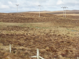
Moorland in Harris
-
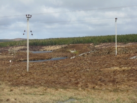
Power lines by Loch Leiniscal
Moorland in Harris
Power lines by Loch Leiniscal
Location and coordinates are for the approximate centre of Loch Faoileag within this administrative area. Geographic features and populated places may cross administrative borders.