-
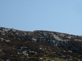
Heronry on cliff face, Loch Rog Beag, North Harris
-

Old tractor
Heronry on cliff face, Loch Rog Beag, North Harris
Old tractor
Location and coordinates are for the approximate centre of Loch Dubh na Creige Guirme within this administrative area. Geographic features and populated places may cross administrative borders.