-

Looking up to junction on the road around the South Lochs
-
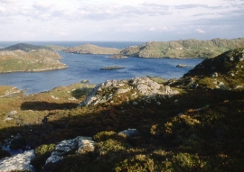
Rough moor above Loch Mharabhig
Looking up to junction on the road around the South Lochs
Rough moor above Loch Mharabhig
Location and coordinates are for the approximate centre of Loch Dubh na Beiste within this administrative area. Geographic features and populated places may cross administrative borders.