-
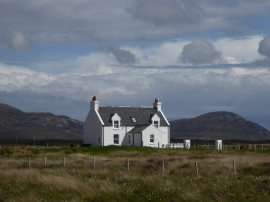
House by Loch Crocabhat
-
A865 near Ge
House by Loch Crocabhat
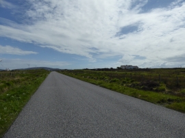
A865 near Ge
Location and coordinates are for the approximate centre of Loch Cròcabhat within this administrative area. Geographic features and populated places may cross administrative borders.