-
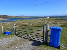
Track leading off the A865
-
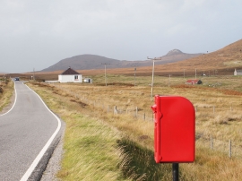
A865 South of Blathaisbhal
Track leading off the A865
A865 South of Blathaisbhal
Location and coordinates are for the approximate centre of Loch Collastrome within this administrative area. Geographic features and populated places may cross administrative borders.